Just launched!
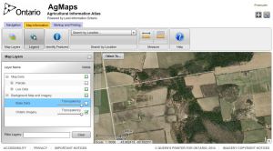
The Ministry of Agriculture, Food and Rural Affairs (OMAFRA) has a new series of tutorials to help you use the Agricultural Information Atlas (AIA), an online application that allows you to create custom maps and find agricultural information for Ontario. You can find the AIA link on the AgMaps Geographic Information Portal at ontario.ca/agmaps, the ministry’s single access point for geospatial data.
The AgMaps Portal and AIA Application Help Tutorial Series provides step-by-step instructions on how to use the AIA for your farm or business. The audio/visual series helps with a range of topics – from navigating the application and creating layers on your custom maps, to creating tile drainage maps and nutrient management strategy farm sketches.
